No products in the cart.

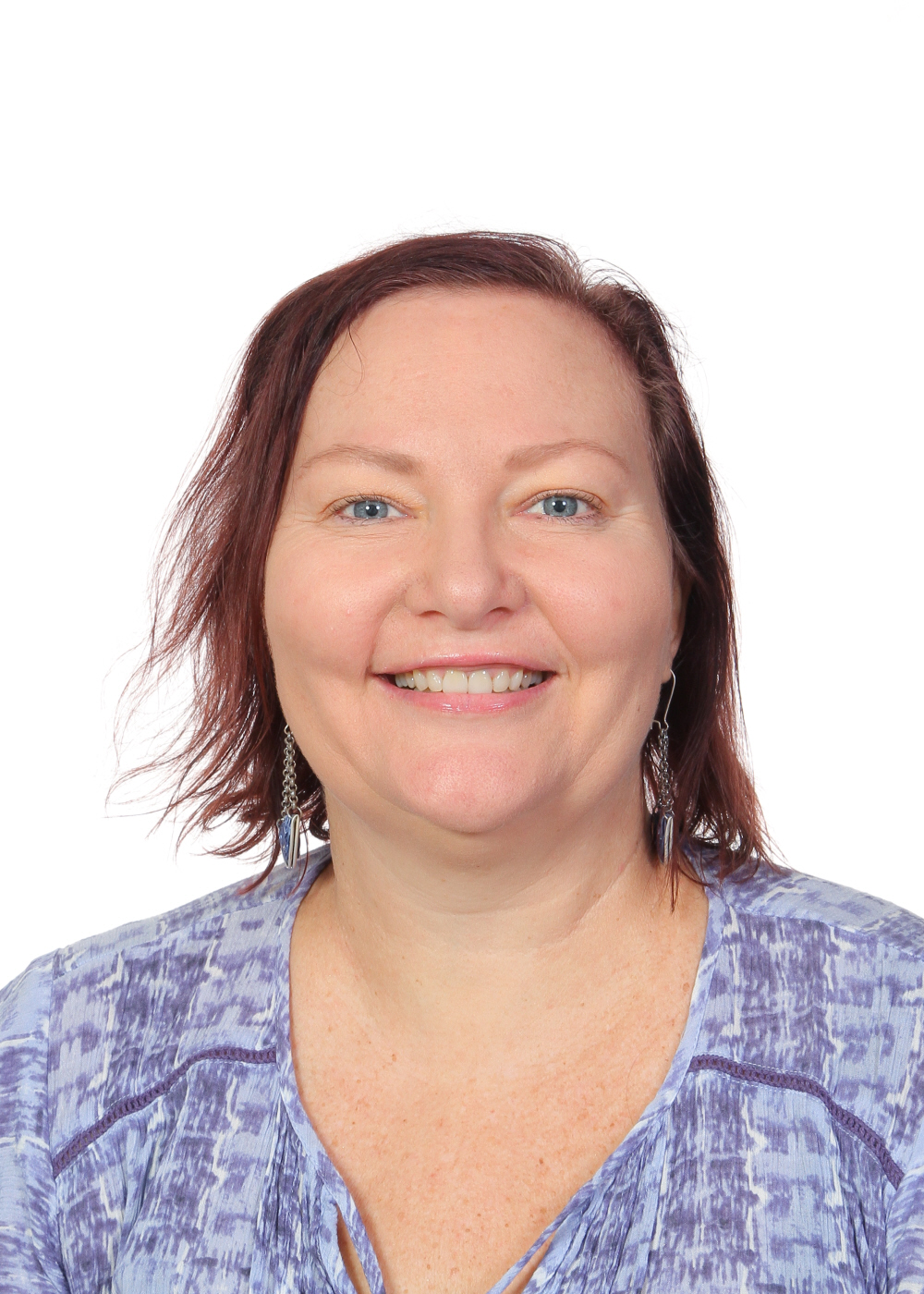
Kelly Soenario – Trinity Bay SHS
Kelly Soenario completed a Bachelor of Science in Australian Environmental Studies with majors in Ecology and Environmental Planning, as well as a Graduate Diploma in Teaching and Learning. Ms Soenario teaches Junior Science and Senior Earth and Environmental Science at Trinity Bay State High School in Cairns, northern Queensland. She enjoys using drones and has used them with her students, most recently on Orpheus Island with a Marine science class who were mapping mangrove distribution and tracking sharks.
Mapping with DataFarming
Students will understand how satellite imagery can be used to map farms and how DataFarming can be used to determine health of crops. They will then analyse the relationship between crop health and soil quality.
